Troubleshooting
The following guides may help if you are having trouble using Conveyal. If you are still having problems, please email us at support@conveyal.com.
Logging in
When using Conveyal, always navigate to https://analysis.conveyal.com in your browser's address window.
Bookmark https://analysis.conveyal.com itself, do not bookmark the page with the login form or attempt to go to that login page directly. It may not work.
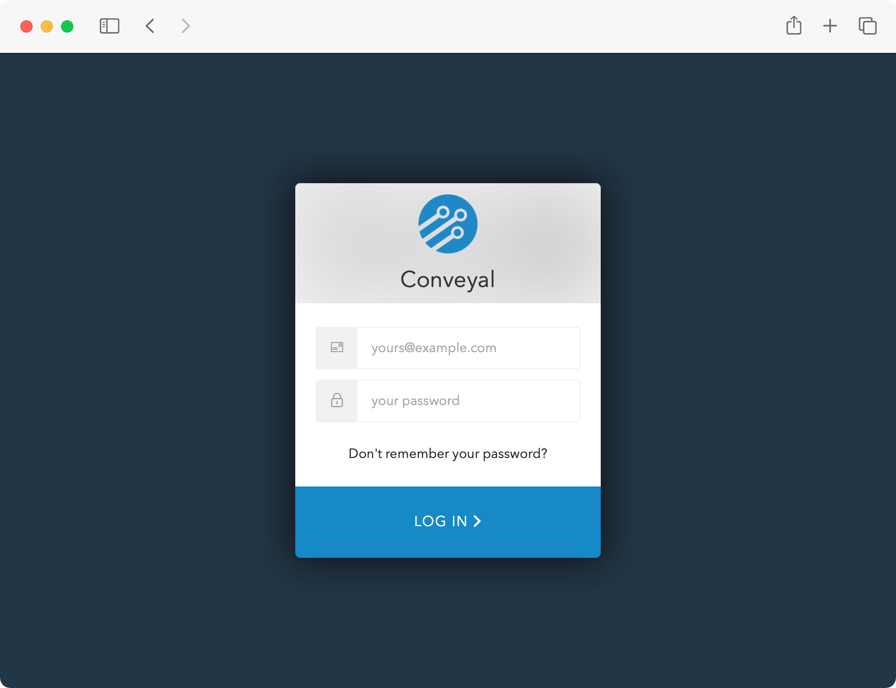
If you are not logged in, the application should redirect you to a login page that looks like:


Forgot password
If you've forgotten your password and would like to change it, first ensure that you have access to the email address associated with the account. Then, go to the application home page and:
- If you are logged in, click
Log Outat the bottom. - From the Log In form, click the
Don't remember your password?link. - Enter the email address associated with your account. Click
Send Email. - Follow the steps in the email (check spam folders if you do not see it), entering a new password for your account.
- Go to the application home page and log in with the new password.
Other issues
If you are seeing Unauthorized errors or you are unable to see data for your account then you may be attempting to access a resource that you don't have access to. Another possibility is your browser may be maintaing a session in another tab that has already timed out.
Before contacting support, we recommend trying to log into Conveyal using private browsing or incognito mode. To enter a private browser session in your browser, follow the key combinations found here. If you are still having trouble logging in while using a private browsing mode, please contact support.
Server status
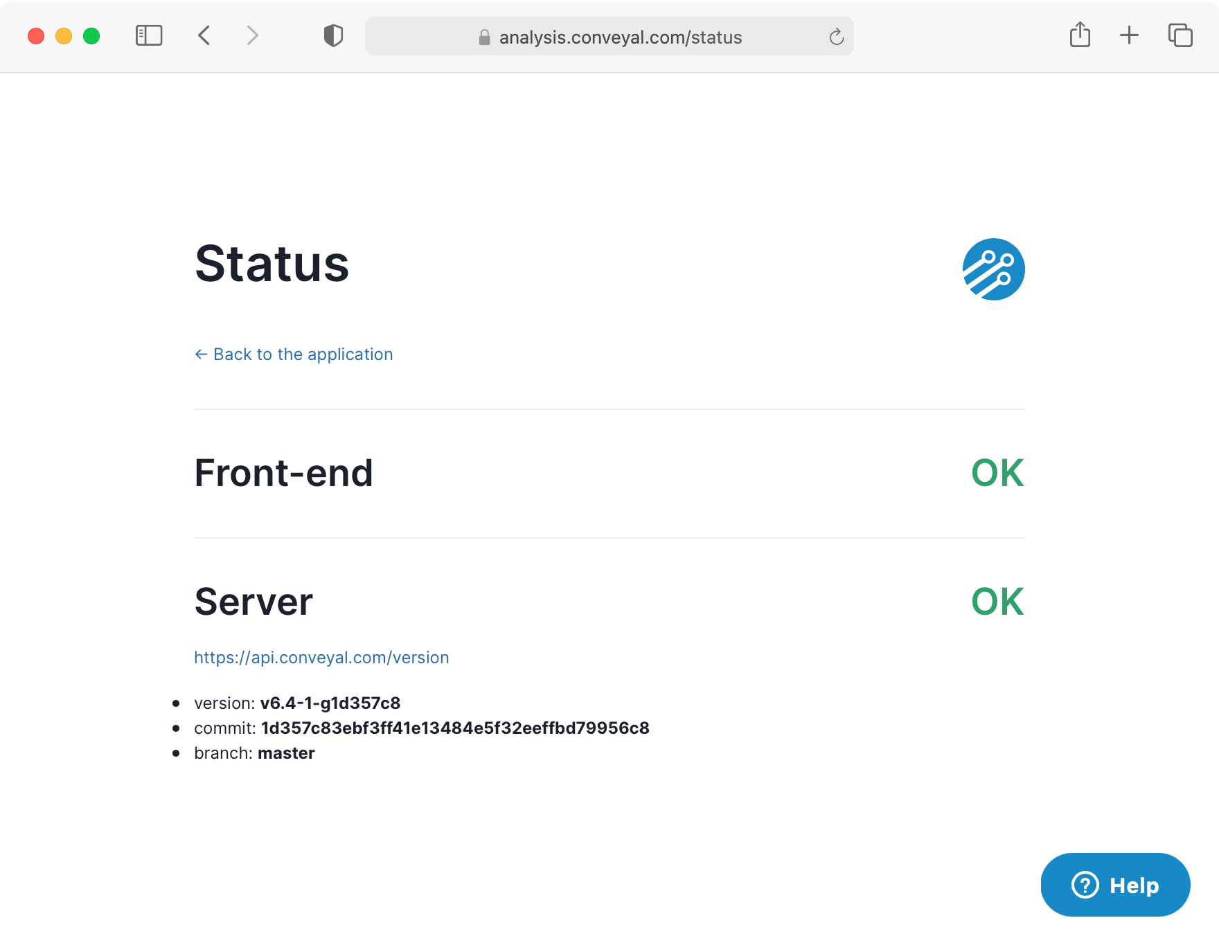
If you are having unexplained problems using our application, please check our Status Page to verify that the issue is not stemming from connectivity or log in issues. The page should show two green OKs, without any error status bar:


Problems with uploaded files
When uploading spatial data layers or transportation network data, Conveyal will scan for conditions that make the data suspect, invalid, or ambiguous. Some of these conditions are classified as errors and will make the data set invalid and unusable, while others are treated as informational warnings and the data set will remain usable. This section explains how to interpret and resolve specific errors and warnings users have experienced on their uploaded files.
Unable to create opportunity dataset
When uploading a spatial dataset, you may see an error like Unable to create opportunity dataset. [Java class]... with a technical description of the error type. Here are suggested steps for addressing different error types:
-
Null (missing) geometry on feature: It is possible for programs to produce shapefiles containing one or more "features" (database rows with attributes such as job counts or census block IDs) that are not associated with a point, line, or polygon (a "geometry"). This implies something went wrong in creating or exporting the shapefile. You will need to examine and repair it in GIS software such as QGIS. Once the shapefile has been added to a QGIS project as a layer, you can open the attribute table of that layer, click the tool button to "select features using an expression", enter the expression$geometry is NULLand click "select features". The selected features will not appear on the map (as they have no associated geometry) but back in the attribute table you can choose "show selected features" to narrow the list down to the offending features. Based on their other attributes you can determine whether something went wrong in the export process. If these features are spurious you can toggle editing and delete them, creating a shapefile without this problem that can be uploaded to Conveyal. -
Feature geometry is too small: Check your dataset for small sliver features, such as where your layers have been cropped to other boundaries. Conveyal does not allow features with area less than 1 x 10^(-12) square degrees (as divide-by-zero problems could be approached). If you remove the features that have an area smaller than that limit, your upload/conversion operation should succeed. -
TopologyException: found non-noded intersection between...: Your file likely has geometry errors. You may be able to resolve such errors with a validity check in GIS, or by creating a 0-width buffer around the features.